Planning a trip to Iriomote in the Yaeyama Islands? This English guide covers the ferry from Ishigaki, river and forest walks, and what to reconfirm before you go.
Operational details such as opening hours, admission fees, and train times can change. Prefer official pages and reconfirm before you travel (sources checked on 21 October 2026).
Why visit
- Iriomote is the large, forested island west of Ishigaki, reached by ferry and then by boat or a short bus.
- Most of the island is national park. Roads do not circle it, and the interior is for guided walks rather than a casual drive.
- Wildlife, including the Iriomote cat, is rarely seen. Plan the trip around the rivers and the forest, not a sighting.
Top places and highlights
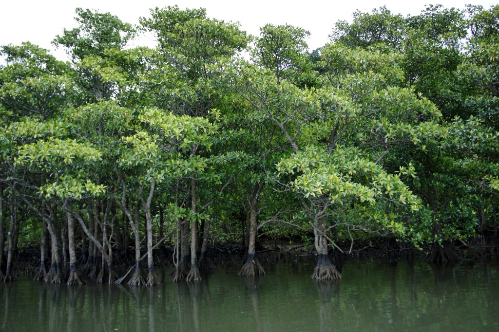
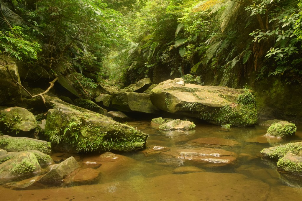
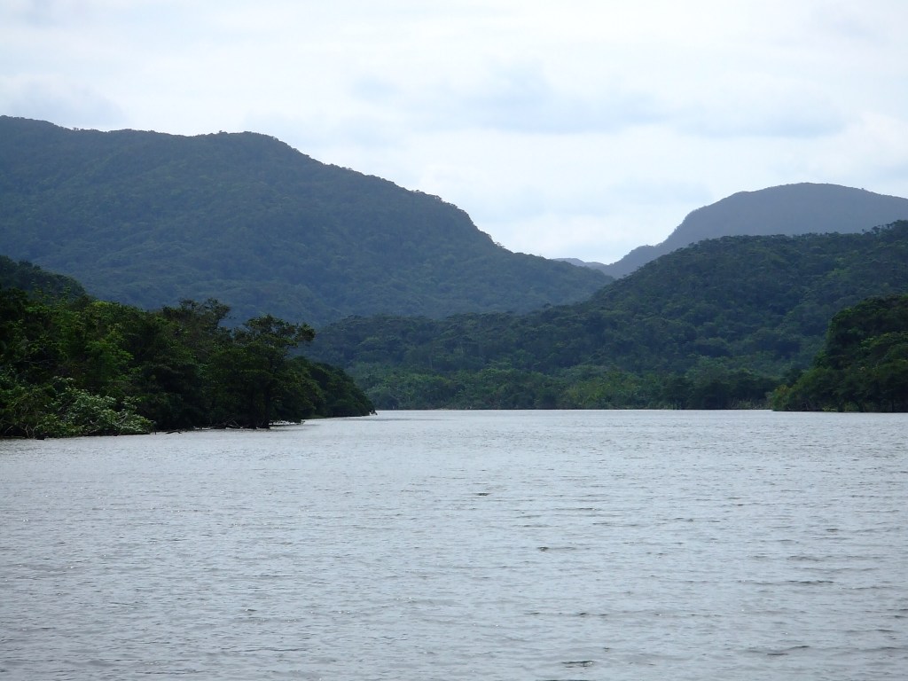
Urauchi River
Boat trips run up the river toward a walk to the falls. They cancel in wind or low water—reconfirm the operator on the morning.
The upper landing is about a 40-minute walk from Mariyudu Falls, so a cruise plus the falls takes half a day rather than an hour. The river operator brings the boat back to the same landing it left from, which makes the timing easier to plan.
Mangrove creeks
Smaller boat trips explore the mangroves near the villages. Life jackets and the guide’s route are the plan.
Village coasts
Ohara and Uehara are the two ferry sides. They are not a short walk apart. Pick the side that matches your boat.
Ohara is the eastern port and Uehara the northern one. The island bus operator puts the ride from Uehara to the Urauchi river landing at about 16 minutes, and from Ohara at more than an hour, so the port printed on your ticket decides how much of the day goes to transport.
Food and drink
- Each village has a few cafes and guesthouse meals. Choice is small.
- If your tour returns after the kitchen closes, eat before you leave or confirm supper with the inn.
Getting there and around
- Ferries run from Ishigaki to more than one Iriomote port. The crossing time and the port depend on the boat—reconfirm both.
- The Anei Kanko timetable lists a direct crossing of about 40 to 50 minutes to Ohara, longer via Taketomi. When the Uehara route is cancelled for swell, that page describes a connecting bus from Ohara for passengers holding an Uehara ticket; seats are limited, so the ticket has to be for Uehara to use it.
- Wind cancels Yaeyama ferries. Do not pair the last boat with a flight off Ishigaki the same day.
- On the island, tours and a limited bus cover the usual stops. Driving the cross-island road still leaves the rivers to the boats.
Where to stay
- A day trip is possible when both ferries and a river boat line up. It is a long day.
- One night lets you take a morning river trip if the afternoon boats are full or cancelled.
Best time to visit
- Summer is hot, humid, and the main boat season, with typhoon risk.
- Winter is quieter and still warm enough for a river trip, but some boats reduce their schedule.
Practical tips
- Treat leeches, heat, and sudden rain as normal on the forest paths. Wear shoes you can soak.
- Do not expect to see the cat. Stay on the guide’s route.
- The car-free island between Ishigaki and Iriomote is covered in the Taketomi travel guide.
Suggested day-trip outline
- Ferry from Ishigaki to the port your tour uses.
- One river or mangrove trip.
- Return boat, or an overnight already booked if the sea is unsettled.
Before you go
Timetables, fares, admission fees, and seasonal access rules can change. Check the official tourism and transport sites linked below for the latest information before you travel.
Sources
- Iriomote-Ishigaki National Park (checked 2026-10-21)
- Taketomi Town (checked 2026-10-21)
- Iriomote tourism (checked 2026-10-21)
- Anei Kanko: Ishigaki and Ohara timetable (checked 2026-10-22)
- Iriomote bus access to Urauchi (checked 2026-10-22)
- Urauchi River cruise (checked 2026-10-22)


Leave a Reply