Planning a trip to Sakurajima in Kagoshima? This English guide covers the ferry, lava viewpoints, volcanic alerts, and what to reconfirm before you go.
Operational details such as opening hours, admission fees, and train times can change. Prefer official pages and reconfirm before you travel (sources checked on 21 October 2026).
Why visit
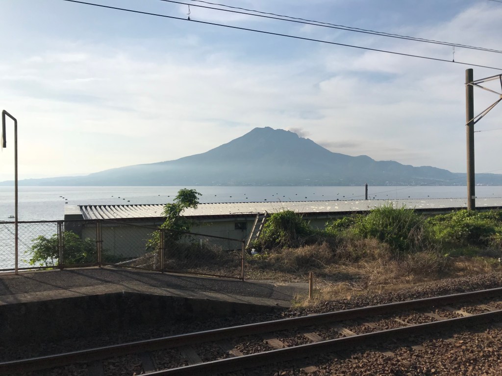
- Sakurajima is an active volcano in the bay opposite Kagoshima city, joined to the mainland by a peninsula but usually visited by a short ferry.
- Viewpoints, buried torii, and lava lookouts are the sights. The crater itself is not a hiking destination when alerts are up, which is often.
- Ash falls on the city and the island without much warning. A visit is still normal local life. Carry a mask or a cloth if the day’s ash forecast is high.
What the alert level means for a visit
Sakurajima is monitored by the Japan Meteorological Agency, and the volcanic alert level decides which part of the mountain is open. The scale runs from 1 to 5, and the number is not a verdict on whether to visit the island. It sets the radius around the active craters that is closed to entry.
At level 3 — the status in the JMA’s report of 19 October 2026 — entry is restricted within roughly 2 km of Minamidake and Showa crater. Every tourist facility on the island stands at least 2.5 km from the crater, which is why the observatories and the ferry landing stay open while the summit stays closed. Check the level and the ashfall forecast for your own travel date, and read the sign at each gate rather than deciding for yourself whether you are outside the boundary.
Top places and highlights
Ferry and the port
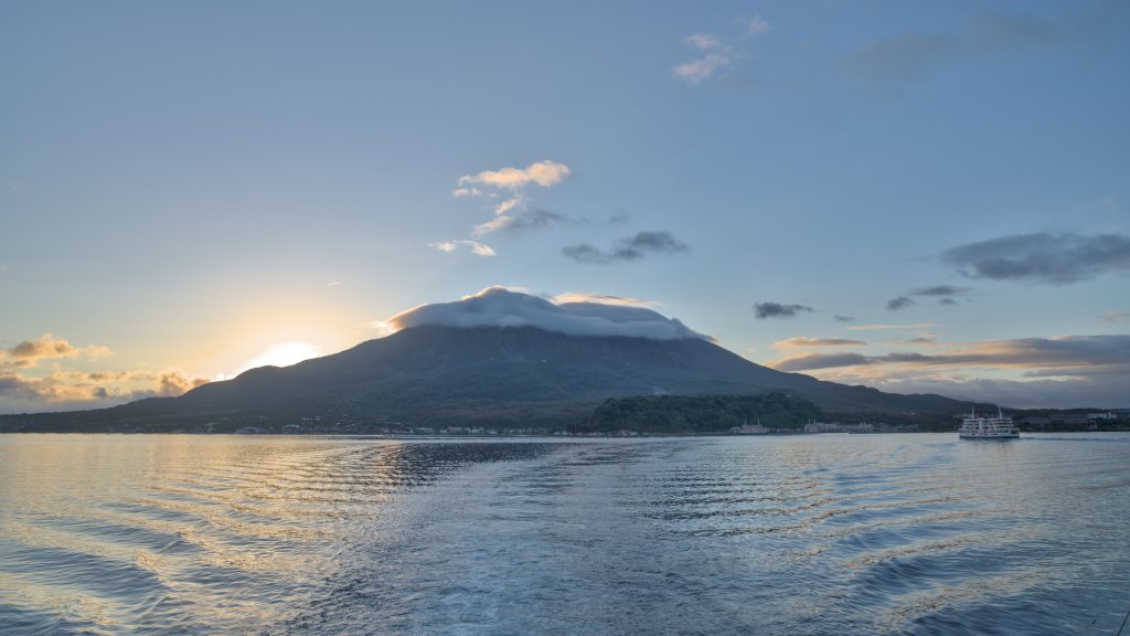
The ferry from Kagoshima port is frequent on an ordinary day and stops in severe weather or heavy ash. Check the operator if the sky looks wrong.
The Kagoshima City ferry page places the Kagoshima terminal at 4-1 Honko-shinmachi, Kagoshima, and the Sakurajima terminal at 61-4 Sakurajima Yokoyama-cho. It describes a short walk from the Suizokukan-guchi tram or bus stop to the Kagoshima side. Boarding and leaving at Sakurajima use the third-floor gate, as the terminal page explains. Fares and timetables are on those pages. This guide does not copy them.
Lava trails and lookouts
Short walks cross the lava fields. They are exposed and can close after rockfall or heavy ash—follow the gate.
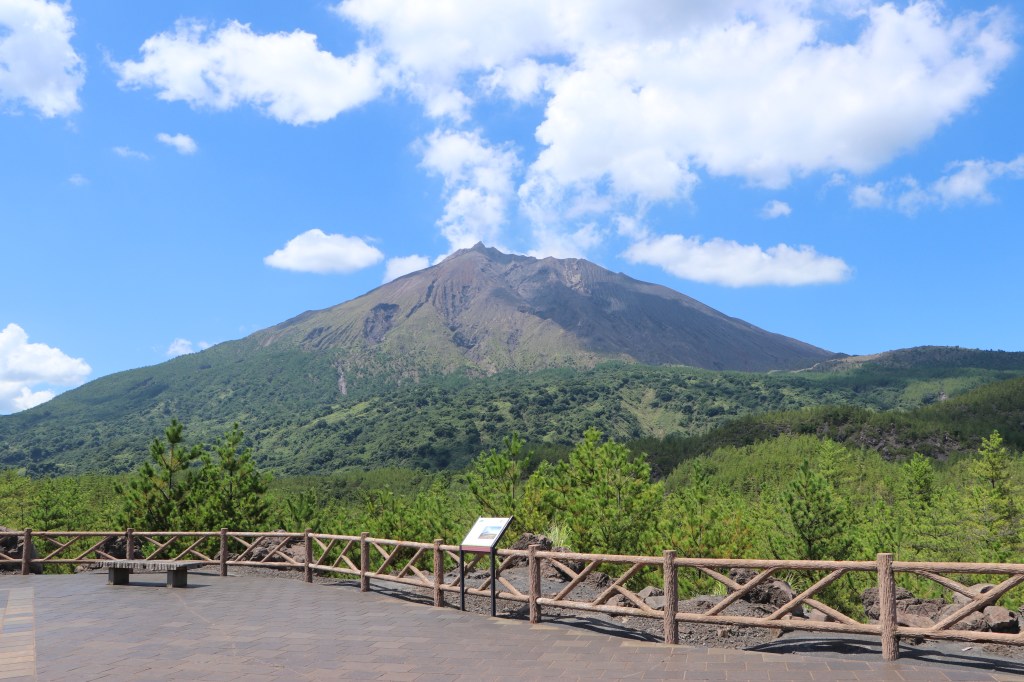
The Arimura Lava Observatory is the most straightforward lava walk. It sits on the lava field at the foot of Minamidake, where a trail of about a kilometre crosses cooled lava that black pines have since colonised. The trail looks out on Minamidake on one side and Kinko Bay on the other. The Sakurajima Visitor Center lists the site at 952 Arimura-cho, around a 17-minute drive from the ferry terminal, and describes it as open year-round. The ground is exposed, so the ash and heat advice below applies.
Yunohira and the north
A viewpoint road climbs part of the mountain. It is not a summit hike. The gate closes with the alert level.
Yunohira Observatory is the highest point members of the public can reach, at 373 metres on the fourth station of Kitadake. It gives a 360-degree view over the Kitadake slopes, the lava field and the bay, with the Kirishima range to the north and Mount Kaimon to the south on a clear day. The visitor center lists it at 1025 Sakurajima-koike-cho, about a 15-minute drive from the ferry terminal with a car park. It is a road viewpoint rather than a summit route, which is why the road, not the trail, is what closes when the alert rises.
Food and drink
- Sakurajima small oranges and simple noodle shops appear near the ferry landing.
- Do not count on a restaurant at the lookouts. Eat in Kagoshima or at the landing.
Getting there and around
- The ferry is the straightforward crossing. Buses on the island meet some boats and not others—confirm the lookout bus before you skip a taxi.
- A rental car can drive the peninsula road without the ferry. Closures on the mountain road still apply.
- Trains and the shinkansen reach Kagoshima-Chuo, then a tram or bus to the ferry. Reconfirm that last step if you have a tight onward train.
Where to stay
- Sakurajima is a half day from Kagoshima city.
- Staying on the island is for the ferry view at dusk. Most visitors sleep in the city.
Best time to visit
- The volcano is active in every season. Access depends on the alert, not the calendar.
- Summer is hot on the lava, which holds the heat. Winter ferries still run unless the weather stops them.
Practical tips
- Read the volcanic alert before you board, and turn around if a gate is shut.
- Ash scratches camera lenses and eyes. Do not rub either.
- Another active volcanic landscape in Kyushu is the Aso travel guide.
Ash is the part of Sakurajima that visitors underestimate. The island’s visitor center recommends glasses rather than contact lenses, a mask or towel, a hat, and a folding umbrella for the walk from the ferry. Ash also makes the road slick, and rain after a dusty spell can bring debris flows down the gullies, so a wet day following heavy ashfall is the wrong day for the lava trail. Explosions can produce air blasts strong enough to break glass; if one catches you near a building, move away from the windows rather than toward them.
Suggested day-trip outline
- Ferry from Kagoshima after a glance at the alert.
- One lookout or lava walk that is actually open.
- Ferry back the same half day.
Where to go next
Guides to nearby places on this route, each checked against official sources.
Before you go
Timetables, fares, admission fees, and seasonal access rules can change. Check the official tourism and transport sites linked below for the latest information before you travel.
Sources
- Sakurajima tourism (checked 2026-10-21)
- Kagoshima tourism (checked 2026-10-21)
- Kagoshima City (checked 2026-10-21)
- Sakurajima Ferry terminals (checked 2026-10-22)
- Sakurajima port terminal (checked 2026-10-22)
- JMA volcanic report for Sakurajima, No. 94 (19 October 2026) (checked 2026-10-23)
- Sakurajima Visitor Center, sightseeing guide (checked 2026-10-23)


Leave a Reply