A practical English guide to Unnan in Shimane: the rice country, the old shrine and access from Matsue and Izumo.
Operational details such as opening hours, admission fees, and train times can change. Prefer official pages and reconfirm before you travel (sources checked on 07 November 2026).
Why visit
- Unnan is a city in eastern Shimane, formed from several old towns and villages in the valleys between Izumo and the Chugoku mountains. It is rice country, with fields along the rivers and small settlements on the slopes, and it is one of the quieter parts of the Izumo region.
- The area is known for its old shrine at Kanbara and for the roads that cross the mountains towards Hiroshima, which have been travelled for centuries. There are also hot springs and small temples in the valleys, and the farming landscape changes with the seasons.
- Unnan is close to Izumo and Matsue, which makes it a practical stop for the Izumo shrine country, and it is a good place to see the ordinary rural side of the region.
Top places and highlights
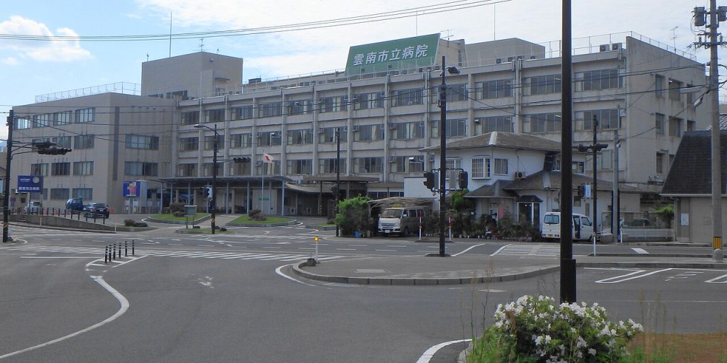
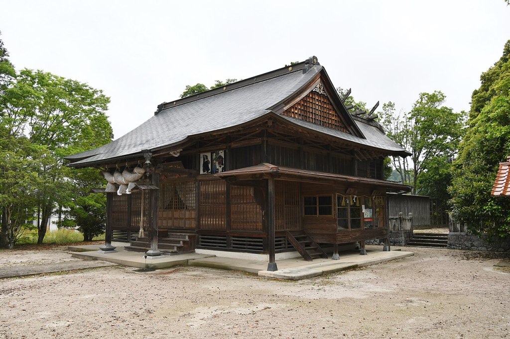
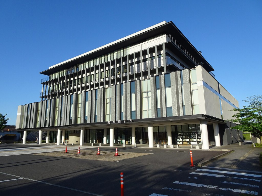
Kanbara shrine
An old shrine in the hills, with a quiet precinct and old trees.
Rice country
Fields along the rivers, with small settlements on the slopes.
Old mountain roads
Routes that once crossed to Hiroshima, still quiet and wooded.
Hot springs
Small onsen in the valleys of the city.
Food and drink
- S
- h
- i
- m
- a
- n
- e
- f
- o
- o
- d
- i
- s
- r
- i
- c
- e
- ,
- f
- i
- s
- h
- a
- n
- d
- s
- a
- k
- e
- ,
- w
- i
- t
- h
- s
- o
- b
- a
- a
- n
- d
- m
- o
- u
- n
- t
- a
- i
- n
- v
- e
- g
- e
- t
- a
- b
- l
- e
- s
- .
- U
- n
- n
- a
- n
- h
- a
- s
- s
- m
- a
- l
- l
- r
- e
- s
- t
- a
- u
- r
- a
- n
- t
- s
- a
- n
- d
- f
- a
- r
- m
- s
- h
- o
- p
- s
- ,
- a
- n
- d
- t
- h
- e
- s
- a
- k
- e
- b
- r
- e
- w
- e
- r
- i
- e
- s
- o
- f
- t
- h
- e
- r
- e
- g
- i
- o
- n
- s
- e
- l
- l
- l
- o
- c
- a
- l
- l
- y
- .
Getting there and around
- U
- n
- n
- a
- n
- i
- s
- o
- n
- t
- h
- e
- J
- R
- K
- i
- s
- u
- k
- i
- l
- i
- n
- e
- ,
- a
- r
- o
- u
- n
- d
- f
- o
- r
- t
- y
- m
- i
- n
- u
- t
- e
- s
- f
- r
- o
- m
- M
- a
- t
- s
- u
- e
- a
- n
- d
- I
- z
- u
- m
- o
- ,
- a
- n
- d
- i
- s
- r
- e
- a
- c
- h
- e
- d
- b
- y
- r
- o
- a
- d
- o
- n
- r
- o
- u
- t
- e
- 5
- 4
- a
- n
- d
- t
- h
- e
- M
- a
- t
- s
- u
- e
- e
- x
- p
- r
- e
- s
- s
- w
- a
- y
- .
- A
- c
- a
- r
- i
- s
- t
- h
- e
- p
- r
- a
- c
- t
- i
- c
- a
- l
- w
- a
- y
- t
- o
- r
- e
- a
- c
- h
- t
- h
- e
- s
- h
- r
- i
- n
- e
- a
- n
- d
- t
- h
- e
- v
- a
- l
- l
- e
- y
- s
- .
Where to stay
- A
- c
- c
- o
- m
- m
- o
- d
- a
- t
- i
- o
- n
- i
- s
- l
- i
- m
- i
- t
- e
- d
- t
- o
- s
- m
- a
- l
- l
- i
- n
- n
- s
- ,
- g
- u
- e
- s
- t
- h
- o
- u
- s
- e
- s
- a
- n
- d
- o
- n
- s
- e
- n
- l
- o
- d
- g
- e
- s
- ,
- w
- i
- t
- h
- m
- o
- r
- e
- c
- h
- o
- i
- c
- e
- i
- n
- M
- a
- t
- s
- u
- e
- a
- n
- d
- I
- z
- u
- m
- o
- .
- I
- t
- i
- s
- a
- q
- u
- i
- e
- t
- b
- a
- s
- e
- r
- a
- t
- h
- e
- r
- t
- h
- a
- n
- a
- r
- e
- s
- o
- r
- t
- .
Best time to visit
- S
- p
- r
- i
- n
- g
- i
- s
- g
- r
- e
- e
- n
- ,
- w
- i
- t
- h
- p
- l
- a
- n
- t
- i
- n
- g
- i
- n
- t
- h
- e
- f
- i
- e
- l
- d
- s
- .
- S
- u
- m
- m
- e
- r
- i
- s
- w
- a
- r
- m
- a
- n
- d
- h
- u
- m
- i
- d
- .
- A
- u
- t
- u
- m
- n
- i
- s
- t
- h
- e
- h
- a
- r
- v
- e
- s
- t
- ,
- w
- i
- t
- h
- g
- o
- o
- d
- r
- i
- c
- e
- .
- W
- i
- n
- t
- e
- r
- i
- s
- c
- o
- l
- d
- a
- n
- d
- s
- n
- o
- w
- y
- i
- n
- t
- h
- e
- h
- i
- l
- l
- s
- .
Practical tips
- Public transport between the valleys is limited; a car helps.
- Some temples and shrines are unmanned; be respectful.
- Mountain roads can close in snow.
Suggested day-trip outline
- Morning: train or drive from Matsue.
- Late morning: the Kanbara shrine.
- Lunch: soba or a local set meal.
- Afternoon: a drive through the rice country.
- Late afternoon: an onsen in the valley.
- Evening: dinner in town, or back to Matsue.
Before you go
Timetables, fares, admission fees, and seasonal access rules can change. Check the official tourism and transport sites linked below for the latest information before you travel.
Explore More of Japan
Published guides that pair with this one:
- Hofu Travel Guide: Tenmangu and Old Yamaguchi
- Masuda Travel Guide: Iwami Kagura and the Shimane Coast
- Yasugi Travel Guide: Sada Shrine and the Tatara Steel of Shimane
- Etajima Travel Guide: Naval History on a Seto Island
- Hikari Travel Guide: A Quiet Seto Inland Sea Town
Browse every Chugoku guide on this site for the rest of the region.
Sources
- city.unnan.shimane.jp (checked 2026-11-07)
- kankou-shimane.com (checked 2026-11-07)


Leave a Reply