A practical English guide to Kazo in Saitama: the river country, the town centre and access from Tokyo and Kumagaya.
Operational details such as opening hours, admission fees, and train times can change. Prefer official pages and reconfirm before you travel (sources checked on 08 November 2026).
Why visit
- Kazo is a city in northern Saitama, on the plain between the Tone and Arakawa rivers, and it is one of the ordinary places of the Kanto region: a grid of streets, a station, shops and fields beyond.
- The river country is the attraction. The Tone and its tributaries run through wide, flat land with embankments, bridges and paths, and the area is good for cycling and for watching the sky. The city also has a small festival and a market tradition, and the old roads run through it towards Kumagaya and Tochigi.
- Kazo is close to Kumagaya and within reach of Tokyo, which makes it a low-key stop for anyone wanting to see the plain as it is rather than the tourist version of it.
Top places and highlights
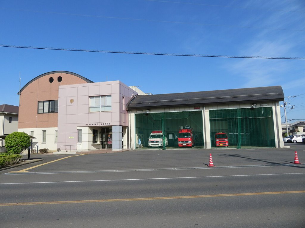
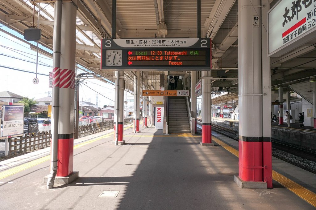
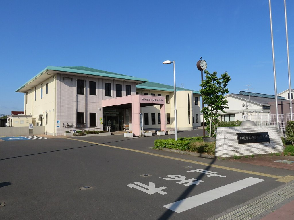
River country
Wide plains and embankments along the Tone and Arakawa rivers.
Town centre
A practical grid of streets, shops and the station.
Old roads
Routes through the plain towards Kumagaya and Tochigi.
Cycling country
Flat roads and paths, easy for a day on a bicycle.
Food and drink
- S
- a
- i
- t
- a
- m
- a
- f
- o
- o
- d
- i
- s
- p
- l
- a
- i
- n
- a
- n
- d
- g
- o
- o
- d
- :
- u
- d
- o
- n
- ,
- s
- o
- b
- a
- ,
- r
- i
- c
- e
- a
- n
- d
- v
- e
- g
- e
- t
- a
- b
- l
- e
- s
- ,
- w
- i
- t
- h
- e
- e
- l
- a
- n
- d
- p
- o
- r
- k
- .
- K
- a
- z
- o
- h
- a
- s
- c
- a
- f
- e
- s
- a
- n
- d
- s
- m
- a
- l
- l
- r
- e
- s
- t
- a
- u
- r
- a
- n
- t
- s
- n
- e
- a
- r
- t
- h
- e
- s
- t
- a
- t
- i
- o
- n
- ,
- a
- n
- d
- t
- h
- e
- s
- h
- o
- p
- s
- s
- e
- l
- l
- l
- o
- c
- a
- l
- s
- w
- e
- e
- t
- s
- .
Getting there and around
- K
- a
- z
- o
- i
- s
- o
- n
- t
- h
- e
- T
- o
- b
- u
- I
- s
- e
- s
- a
- k
- i
- l
- i
- n
- e
- ,
- a
- r
- o
- u
- n
- d
- a
- n
- h
- o
- u
- r
- a
- n
- d
- a
- h
- a
- l
- f
- f
- r
- o
- m
- T
- o
- k
- y
- o
- a
- n
- d
- t
- w
- e
- n
- t
- y
- m
- i
- n
- u
- t
- e
- s
- f
- r
- o
- m
- K
- u
- m
- a
- g
- a
- y
- a
- ,
- a
- n
- d
- i
- s
- r
- e
- a
- c
- h
- e
- d
- b
- y
- r
- o
- a
- d
- o
- n
- r
- o
- u
- t
- e
- 1
- 2
- 5
- a
- n
- d
- t
- h
- e
- T
- o
- h
- o
- k
- u
- e
- x
- p
- r
- e
- s
- s
- w
- a
- y
- .
- T
- h
- e
- c
- e
- n
- t
- r
- e
- i
- s
- w
- a
- l
- k
- a
- b
- l
- e
- f
- r
- o
- m
- K
- a
- z
- o
- s
- t
- a
- t
- i
- o
- n
- ,
- b
- u
- t
- t
- h
- e
- r
- i
- v
- e
- r
- s
- n
- e
- e
- d
- a
- b
- i
- c
- y
- c
- l
- e
- o
- r
- c
- a
- r
- .
Where to stay
- A
- c
- c
- o
- m
- m
- o
- d
- a
- t
- i
- o
- n
- i
- s
- l
- i
- m
- i
- t
- e
- d
- t
- o
- b
- u
- s
- i
- n
- e
- s
- s
- h
- o
- t
- e
- l
- s
- a
- n
- d
- s
- m
- a
- l
- l
- i
- n
- n
- s
- ,
- w
- i
- t
- h
- f
- a
- r
- m
- o
- r
- e
- c
- h
- o
- i
- c
- e
- i
- n
- K
- u
- m
- a
- g
- a
- y
- a
- a
- n
- d
- T
- o
- k
- y
- o
- .
- M
- o
- s
- t
- v
- i
- s
- i
- t
- o
- r
- s
- c
- o
- m
- e
- a
- s
- a
- d
- a
- y
- t
- r
- i
- p
- .
Best time to visit
- S
- p
- r
- i
- n
- g
- a
- n
- d
- a
- u
- t
- u
- m
- n
- a
- r
- e
- t
- h
- e
- b
- e
- s
- t
- s
- e
- a
- s
- o
- n
- s
- f
- o
- r
- c
- y
- c
- l
- i
- n
- g
- .
- S
- u
- m
- m
- e
- r
- i
- s
- h
- o
- t
- a
- n
- d
- h
- u
- m
- i
- d
- .
- W
- i
- n
- t
- e
- r
- i
- s
- c
- o
- l
- d
- a
- n
- d
- d
- r
- y
- ,
- w
- i
- t
- h
- c
- l
- e
- a
- r
- d
- a
- y
- s
- .
Practical tips
- The rivers rise after heavy rain; keep to the paths.
- Some shops close early.
- A bicycle makes the river country much easier.
Suggested day-trip outline
- Morning: train from Tokyo or Kumagaya.
- Late morning: the town centre and the station area.
- Lunch: udon or a local set meal.
- Afternoon: a ride along the river embankments.
- Late afternoon: an old road or a shrine.
- Evening: back to Tokyo or Kumagaya.
Before you go
Timetables, fares, admission fees, and seasonal access rules can change. Check the official tourism and transport sites linked below for the latest information before you travel.
Explore More of Japan
Published guides that pair with this one:
- Hanyu Travel Guide: Ancient Tombs and River Country in Saitama
- Nagatoro Guide: The Arakawa River and Saitama’s Stone Town
- Gyoda Travel Guide: Oshi Castle and Saitama’s Sock Town
- Sakura Travel Guide: A Castle Town in Chiba
- Sano Travel Guide: Ramen and an Old Temple Town in Tochigi
Browse every Kanto guide on this site for the rest of the region.
Sources
- city.kazo.lg.jp (checked 2026-11-08)
- pref.saitama.lg.jp (checked 2026-11-08)


Leave a Reply